

The 66-acres of open fields and meadows next to the state offices and Dorathea Dix hospital complex host grassland and marsh birds like savanna sparrows and red-winged blackbirds, and high-school cross country races. Dedicated as Saxl Park in 1984 in honor of Bangor Mental Health Institute superintendent Joseph Saxl, the meadows feature trails that are often wet and muddy but turn dry in late summer. Runners, dog-walkers, and bird-watchers frequent the mowed paths.
Along the park’s western edge, old barbed-wire fence and hawthorns mark a boundary with another 55 acres of undulating hills covered in tall grasses, shrubs, and small trees. It is a curious patch of wild land between Garland Street, Howard Street, and Mount Hope.
Historically, the land was part of the Treats Falls Property, a larger parcel that extended to the river at the Bangor Waterworks, owned by “lumber baron” Samuel Freeman Hersey and then by Frederick W. Ayer, who made his fortune expanding Eastern Manufacturing Company saw and pulp mill in South Brewer.
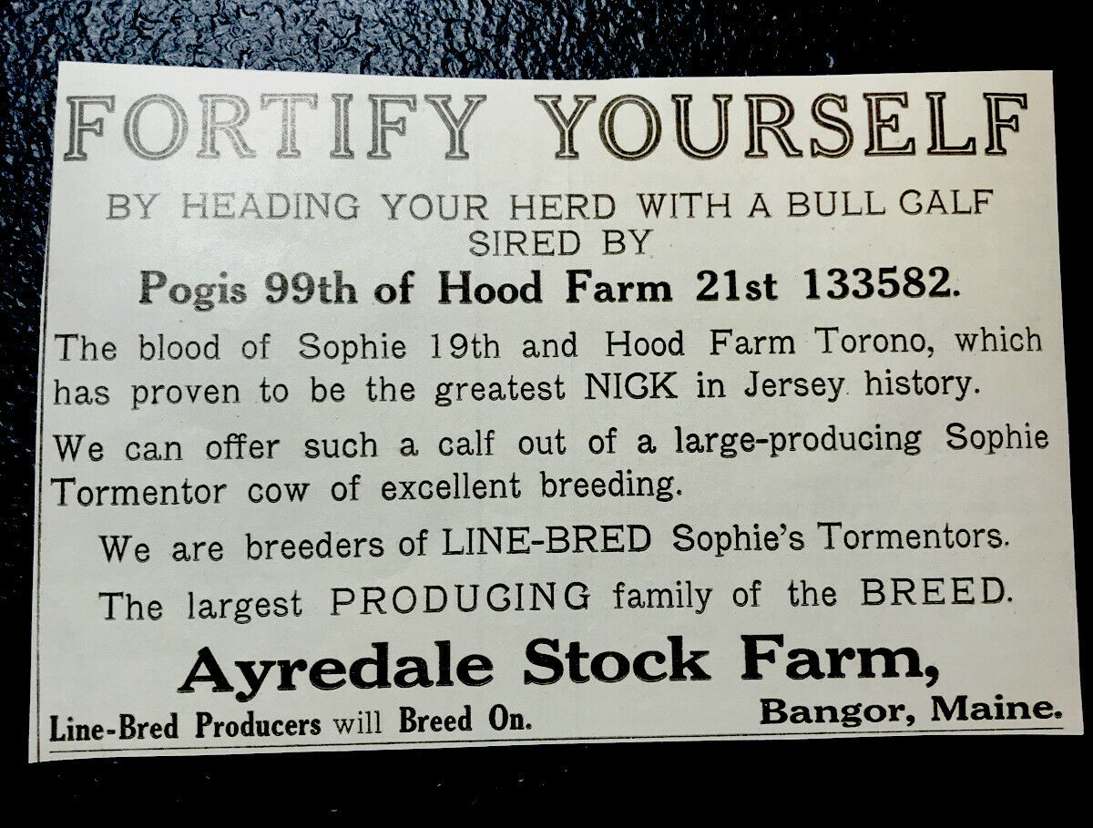
In the 1920s the land between Garland and Mount Hope was the Ayredale Stock Farm, where Jersey dairy cattle were bred, bought, and sold. For a time, Keene’s ice cream stand operated on site. The Great Depression likely contributed to the farm’s demise and sale in the 1930s.


The old Ayredale Farm property is the largest fragment of wild land remaining in downtown Bangor, maintaining the diversity of small mammals and birds that bring joy to neighboring backyards, and providing an important habitat link between the Penobscot River and forested land to the north of the city.
The property was recently for sale for nearly half a million dollars. Wouldn’t it be nice, instead, to protect this space as nearby nature, expand the Saxl Park trails so people could take longer walks into wilder terrain? Imagine, too, stopping for an ice cream cone after a stroll through Wild Bangor.

